2004 Nav CD's for Command.

Thread Starter
Almost a Member!
Joined: Feb 2004
Posts: 30
Likes: 0
From: NRidge
2002 MB C32
2004 Nav CD's for Command.
Heres whats left - ---- $99 each.
email thegardensapt@hotmail.com
2004 NEWEST RELEASE. Don't get stuck with old dated CD's. My small town that used to have 1 restaurant in the point of interests database (2003 release), now has over 50! Many more roads are plotted as well. Just imagine the new detail in larger areas.
Because the 2004 release has so much more data, you can actually see highways throughout the country. This was not the case with older releases where you were limited to ONLY the region that your CD map covered. This makes planning a trip so much easier to plan in Command. This is the release that is very much worth the money in my opinion.
4: BQ 6 46 0158
South Central
Includes the states of Arkansas, Louisiana, Mississippi, Oklahoma and the following partial states: Tennessee, Texas
5: BQ 6 46 0159
Midwest
Includes the following partial states: Illinois, Indiana, Michigan, Ohio, Wisconsin
7: BQ 6 46 0161
New England/New York
Includes the states of Connecticut, Maine, Massachusetts, New Hampshire, Rhode Island, Vermont and the following partial states: New Jersey, New York
8: BQ 6 46 0162
Mid-Atlantic
Includes the states of Delaware, Virginia, Washington DC and the following partial states: Maryland, New Jersey, North Carolina, Pennsylvania
10: BQ 6 46 0164
Canada
Western coverage:
Currently includes the detailed area of Vancouver, British Columbia. Mao 10 will include the provinces of Alberta, British Columbia, Manitoba, Saskatchewan, and Yukon Territory
Eastern Coverage:
Currently includes the detailed area of Toronto, Ontario and Montreal, Quebec. Map 10 will include the province of New Brunswick, Newfoundland, Nova Scotia, Ontario, Prince Edward Island and Quebec
Last edited by C32power; Feb 27, 2004 at 12:38 AM.
Trending Topics
MB World Stories
The Best of Mercedes & AMG

7 Craziest Things AMG Gas Ever Built
Verdad Gallardo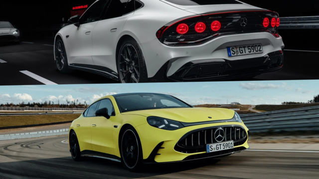
New Electric Mercedes-AMG GT 4-Door Coupe Unveiled: 10 Things You Need to Know
Verdad Gallardo
6 Mercedes Models That Did NOT Age Well (But Are Somehow Still Cool)
Verdad Gallardo
Manual Mercedes? 6 Times Sindelfingen Let Drivers Have All The Fun
Verdad Gallardo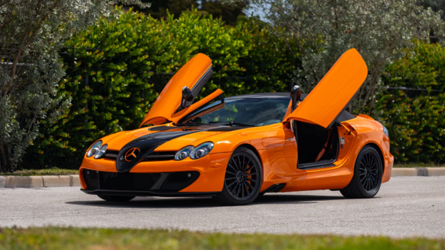
Mercedes SLR McLaren 722 S Is Extremely Rare Example Modified by McLaren
Verdad Gallardo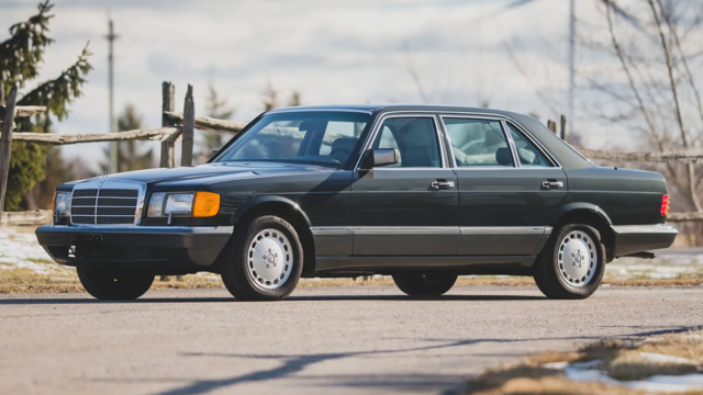
8 Classic Boxy Mercedes Designs That Have Aged Like Fine Wine
Verdad Gallardo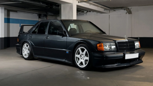
Flawlessly Restored Mercedes 190E Evo II Heads to Auction
Verdad Gallardo
Electric Mercedes C-Class Unveiled: 11 Things You Need to Know
Verdad Gallardo